LAWRENCE — Researchers from the University of Kansas, with support from the KansasView and AmericaView
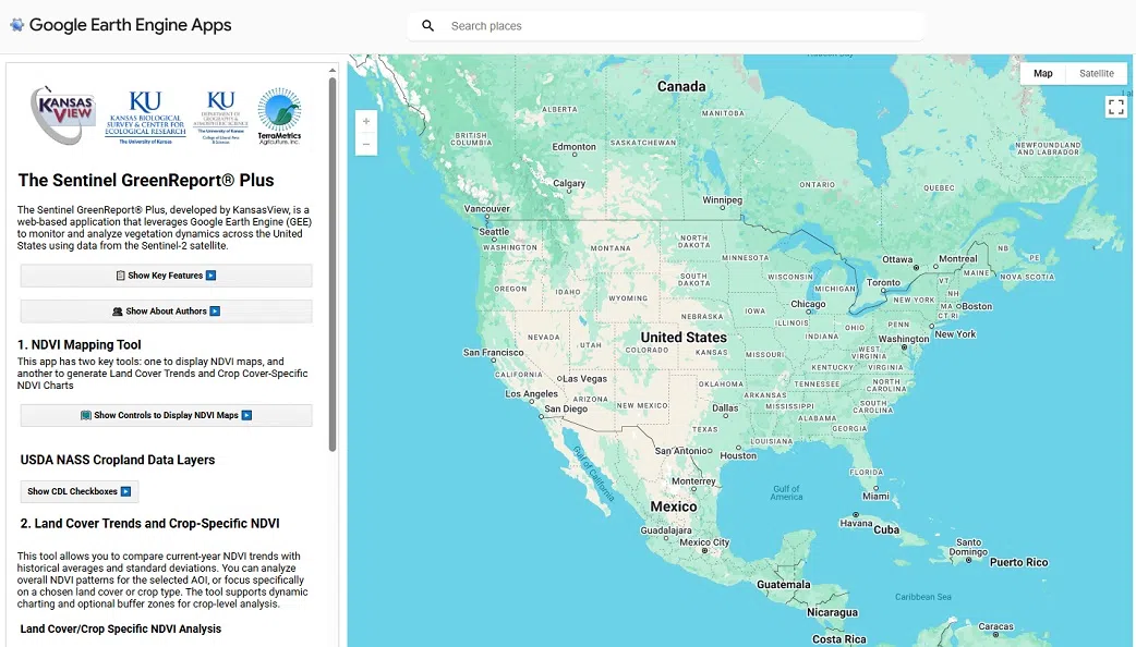
The free digital tool integrates Google Earth Engine with high-resolution imagery from the European Space Agency’s Copernicus Sentinel-2 satellite mission, consisting of two identical satellites that share the same orbit. The Sentinel GreenReport Plus combines this satellite imagery with climate datasets from the PRISM group. As a public-service resource, the tool provides users with up-to-the-day insights into vegetation greenness, changes in land cover over time and climate abnormalities.
According to its KU creators, the Sentinel GreenReport Plus already has seen use in monitoring crops, assessing damage from drought, detecting changes in land use and tracking vegetation recovery following a disaster.
For more information, visit the program’s website.
Source: University of Kansas – KU News Service


Comments