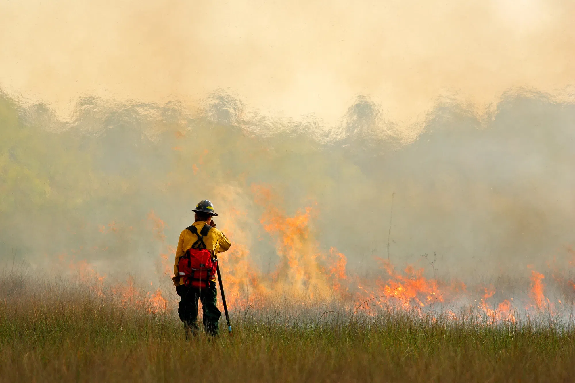
The Biden-Harris administration announced it is taking additional steps to safeguard western communities in the face of increasingly dangerous and intense wildland fires by building advanced wildfire detection capabilities using satellite technology.
The Department of the Interior and U.S. Department of Agriculture’s Forest Service have signed an agreement with the Department of Commerce’s National Oceanic and Atmospheric Administration (NOAA) to use the NOAA Geostationary Operational Environmental Satellite — R series (GOES-R) data to rapidly detect and report wildfire starts. Supported by a $20 million investment from the President’s Bipartisan Infrastructure Law—$10 million each from Interior and Agriculture— this new agreement will use advanced remote sensing capabilities to improve the speed and accuracy of wildfire detection.
“This partnership is one of the many ways we are investing in technology to improve firefighter and community safety,” said Secretary of Agriculture Tom Vilsack. “Wildland firefighting will always require highly skilled individuals working on the ground, but with more real-time information we can reduce the risks to crews and pilots, and improve our response time, reducing the risk to impacted communities.”
Use of NOAA’s GOES-R satellite data will enable the Interior and Agriculture Departments to detect wildfires early, provide firefighters a more detailed look at wildfire conditions, allow faster hot spot detection, and provide the ability to track wildfire progression in real time. GOES-R series satellites are frequently capable of detecting wildfires before they are spotted on the ground or reported to 911. The satellites can also be used to pinpoint the exact location of a fire after smoke reports occur.
USDA news release


Comments